
Route studies & transport infrastructure
Finding out whether an oversized load can actually reach your site
Some things cannot be taken apart to be moved. A route study establishes whether a given load can travel a given corridor, exactly where it cannot, and what would have to change.
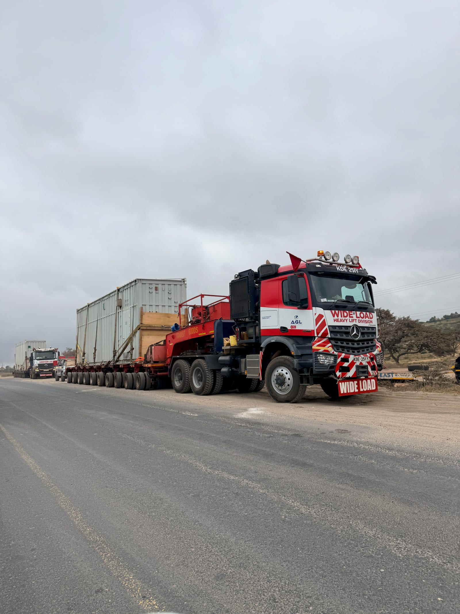
A load that cannot be divided has to fit the road as it is
A wind-turbine blade, a power transformer, a pressure vessel, a bridge girder. These travel in one piece because they cannot be split and reassembled. That single piece is routinely longer, taller or heavier than the roads along the way were ever laid out for.
A route study answers one question: can this load get from where it lands to where it is needed. It works by taking the real dimensions and weight of the cargo and testing them against the real geometry and condition of the corridor: every turn, every structure it passes under, every culvert and pavement it crosses.
It is not a mapping exercise, and distance is rarely what decides it. A single offset junction, a weak culvert or one footbridge added years after the road was built can rule out an entire corridor. The study finds those points and prices what it would take to get past them.
When a route study earns its cost
In every case the value is the same: learning that a route breaks while it is still cheap to do something about it.
Before an EPC contract is priced
A delivery programme and a construction price both assume the equipment arrives. If the corridor cannot take it, that assumption becomes a variation later, at a much higher cost.
While the site can still move
Access is a site-selection criterion, not a detail. A corridor that already carries oversized loads makes the land behind it substantially more valuable.
When comparing ports or modes
Road, rail or a combination. Different entry points impose completely different constraints, and the comparison needs measurements rather than assumptions.
When an authority needs evidence
Permits, escorts and traffic management require a documented case: what is moving, along which route, and what controls apply.
How the study runs
Resolution increases as the options narrow, so field effort is spent only where it can change the recommendation.
Define
The cargo dimensions and mass, the transporter arrangement, origin and destination, the programme, the candidate corridors, and the decision the report has to serve.
Screen
Mapping, imagery, network data and known restrictions are used to eliminate weak options early and target where the survey team should actually go.
Verify
The corridor is walked and logged waypoint by waypoint. Swept paths are run in AutoTURN against the real road reserve; clearances and structures are checked on the ground.
Decide
The preferred route, the residual risks, the further verification needed, the road works required, and what each of those means for cost, consent and programme.
What arrives, and what is needed to begin
You receive
A route recommendation with the reasoning behind it, not just a preferred line.
A constraint register: every pinch point located, described and measured.
A schedule of modifications each constraint needs, with cost and programme effect.
A Traffic Management Plan and transport inputs to the environmental assessment, where required.
To start, provide
Cargo dimensions and mass: the actual figures, not the nominal ones.
The transporter configuration, if it has been selected.
Origin, destination and any fixed dates in the delivery programme.
The decision the study has to support, so its depth can be matched to it.
Related work
The same corridor work sits inside energy-project feasibility. Named corridor studies are set out in full on the projects sheet.
Next step
A structure to design, a corridor to move a load along, or a build already on site?
That is a conversation worth having early, while the engineering decision can still be changed cheaply. Eng. Ombogo will say plainly where the work stands.